In this article you will find out how to get to Manu on the shortest and less expensive way. It also allows you to learn more about this stunning natural protected area and provides other important travel tips helping you to undertake this spectacular trip.
From Cusco, a spectacular way leads to the Manu National Park, passing through mountains and jungle forests. It is most recommended to set off early in the morning so you can see the stunning scenery along the way. The journey starts on a paved road then turns into a gravel road and eventually you’ll travel by river transport. Although it is more comfortable to make the trip by private transportation, there are several options to go by public transportation. It takes about 5 hours or more to reach one of the world’s most diverse natural protected areas.
Of course, you can also travel to Manu National Park with RESPONSible Travel Peru! We have several unique tours that you won’t find anywhere else, which highlight not only nature but also the people living in harmony with that natural environment. Find out more about our Manu tours below this article.
The climb
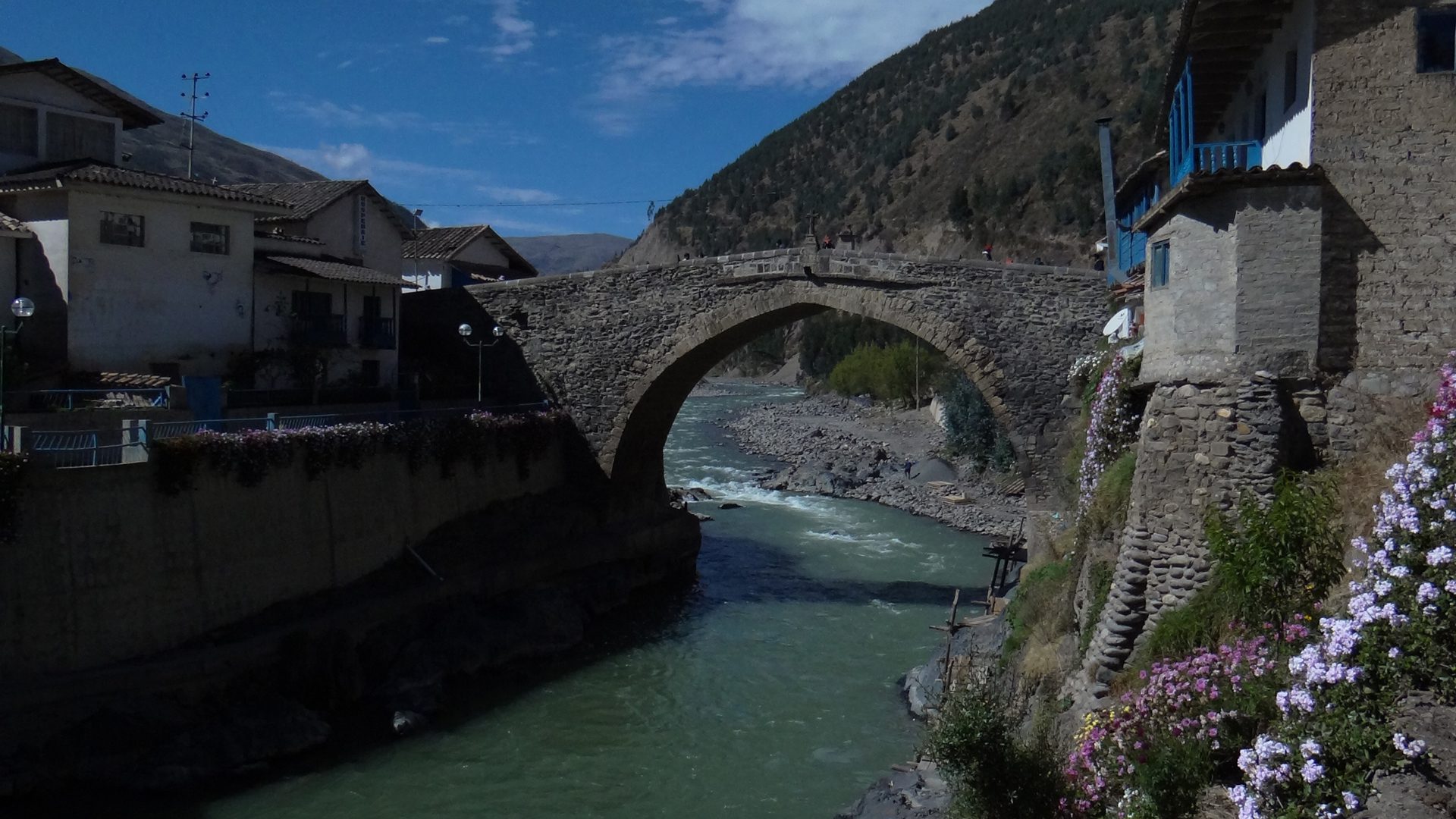
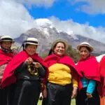
The route starts in Cusco leading towards Paucartambo, situated in the valley of the river Mapacho, where you will arrive after a 2 hours drive. From here, you will start making your way up a mountain on a zigzag course until the road finally turns into a gravel road. From up here, you can see the snowcapped mountain Pitusiray of the Sacred Valley on the left side of the road and the Ausangate, the sacred mountain of Cusco, on the right side. On the whole way there is no phone signal nor any shops until you arrive in Paucartambo, where you can also find a bank (Banco de la Nación). This charming village with its nice houses and a colonial bridge is perfect for stocking up on food and making any last important calls before continuing the journey along a desolate road. This is the last valley before our way leads up the last mountain of the Cordillera Oriental from where you will descend towardds the Amazon.
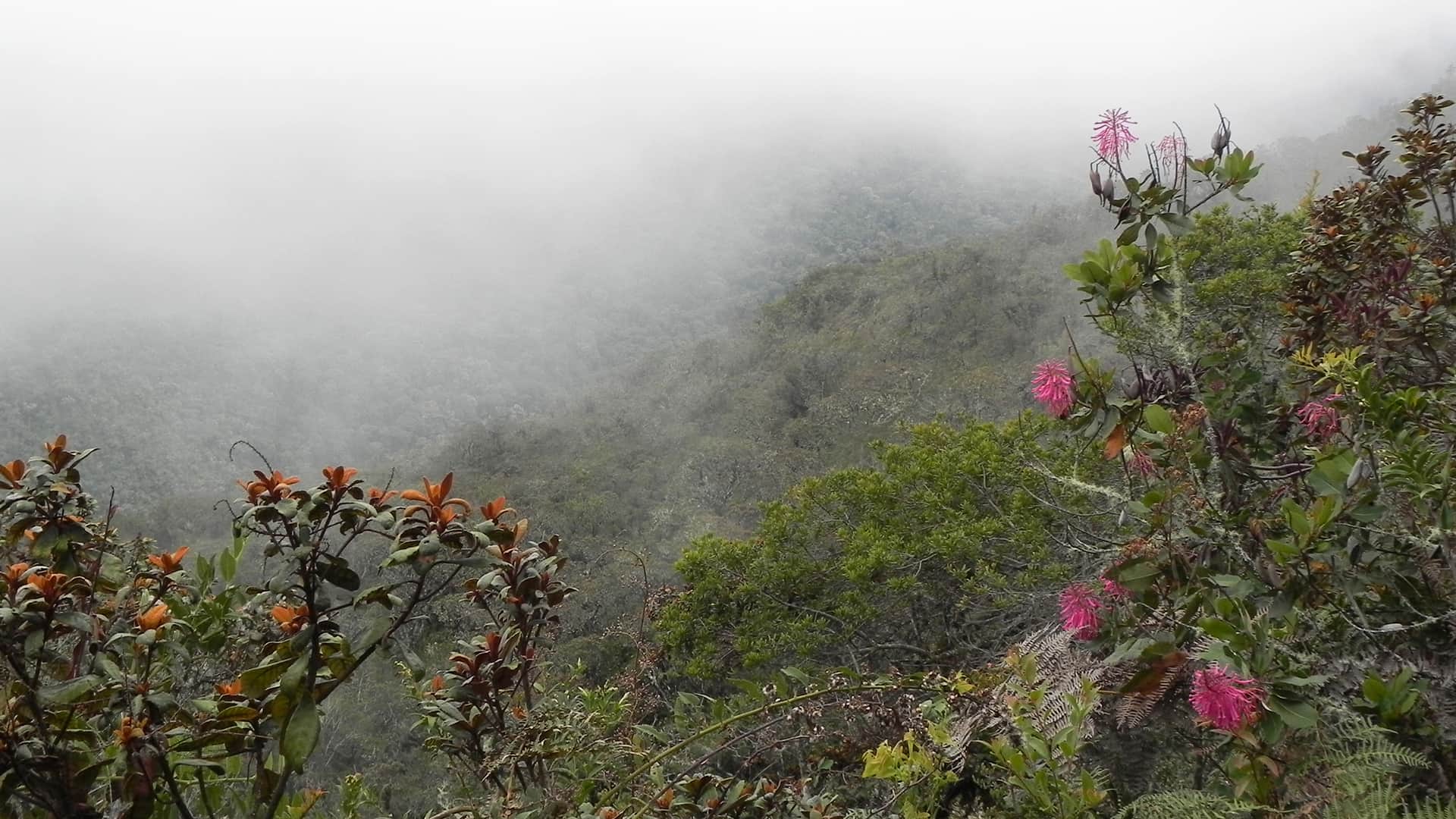
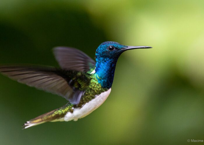
After ascending for the last hour, you will arrive to the entrance of the National Park Manu at the Acjanaco pass (3560 m.a.s.l.), where a spectacular view over the cloud forest Kosñipata can be admired. In Quechua Kosñipata means “place where there is smoke.” The reason for this name becomes clear when you see the cloud layer covering the land and the mountains that almost disappear in their density. Very close to Acjanaco is the Biological Station Wayqecha of the NGO ACCA (Association for Conservation of the Amazon Basin), which is mainly a station for researchers but also equipped to accommodate tourists. From here, you can enjoy the amazing view over the cloud forest and see a variety of birds and amazing orchids.
The descent
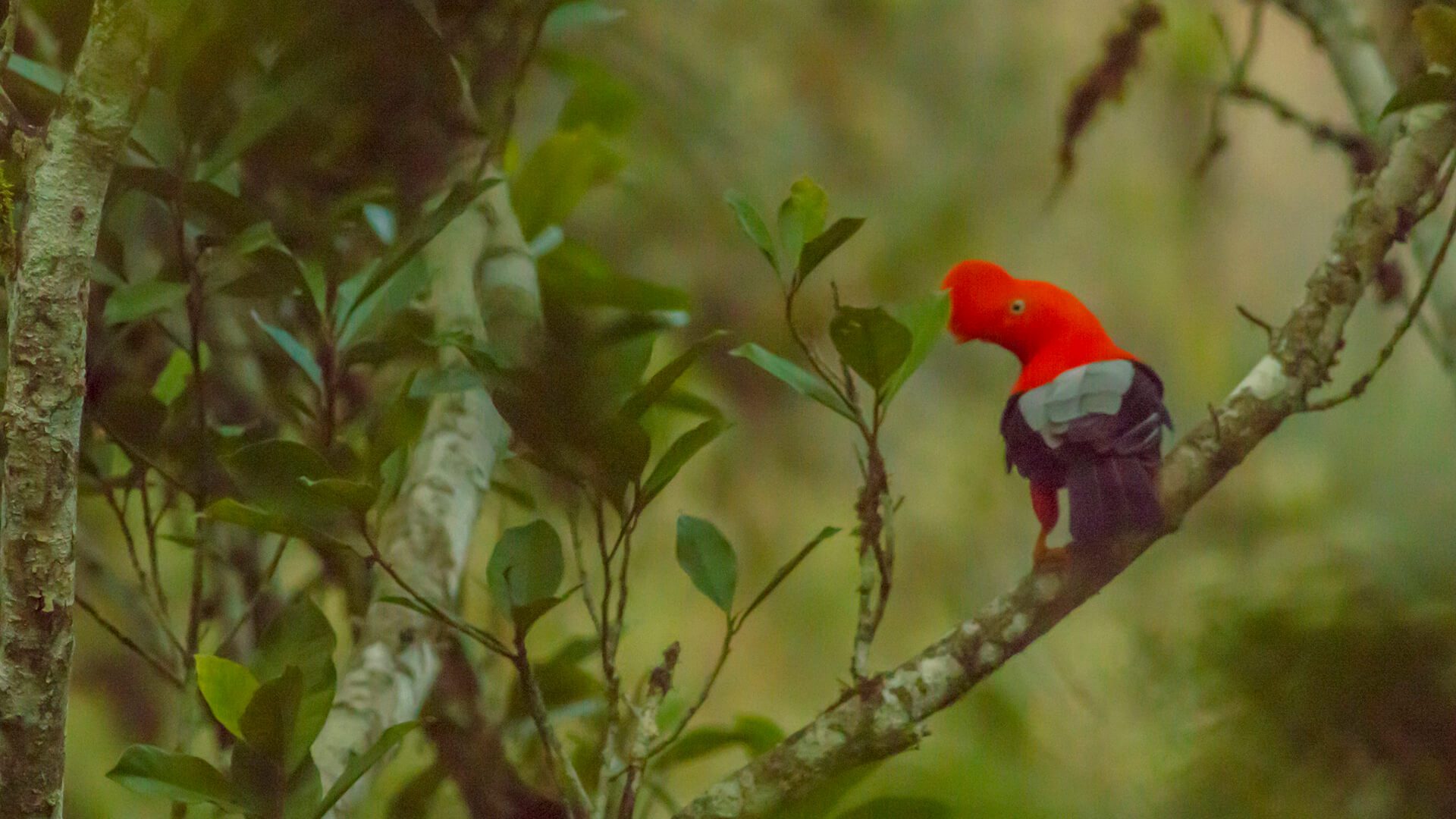
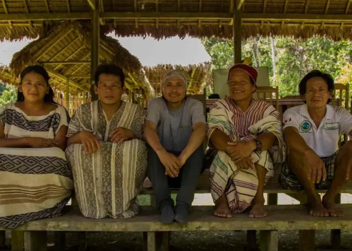
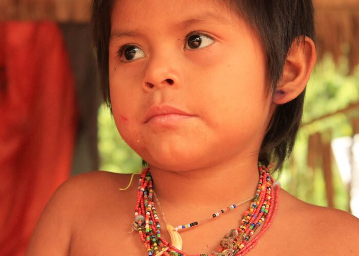
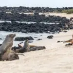
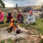
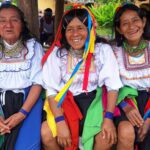
Leaving Wayqecha, the magical descent to Manu starts and the jungle is getting thicker and the trees taller. Here, the habitat of the national bird called the cock of the rock begins. To reach Pillcopata, the capital of Kosñipata and largest town of Manu, we need to travel 2-3 hours more on the rough road. From this village, that has some restaurants and accommodation, depart several interesting routes. One of them goes to the Biological Station Villa Carmen, also part of the ACCA but located at a much lower height between the cloud forest and the rainforest. Another route leads to the Queros and Huacaria communities of the Huachipaeri etnicity, where you can visit the community members, and learn about their customs and great wisdom about the jungle surrounding them.
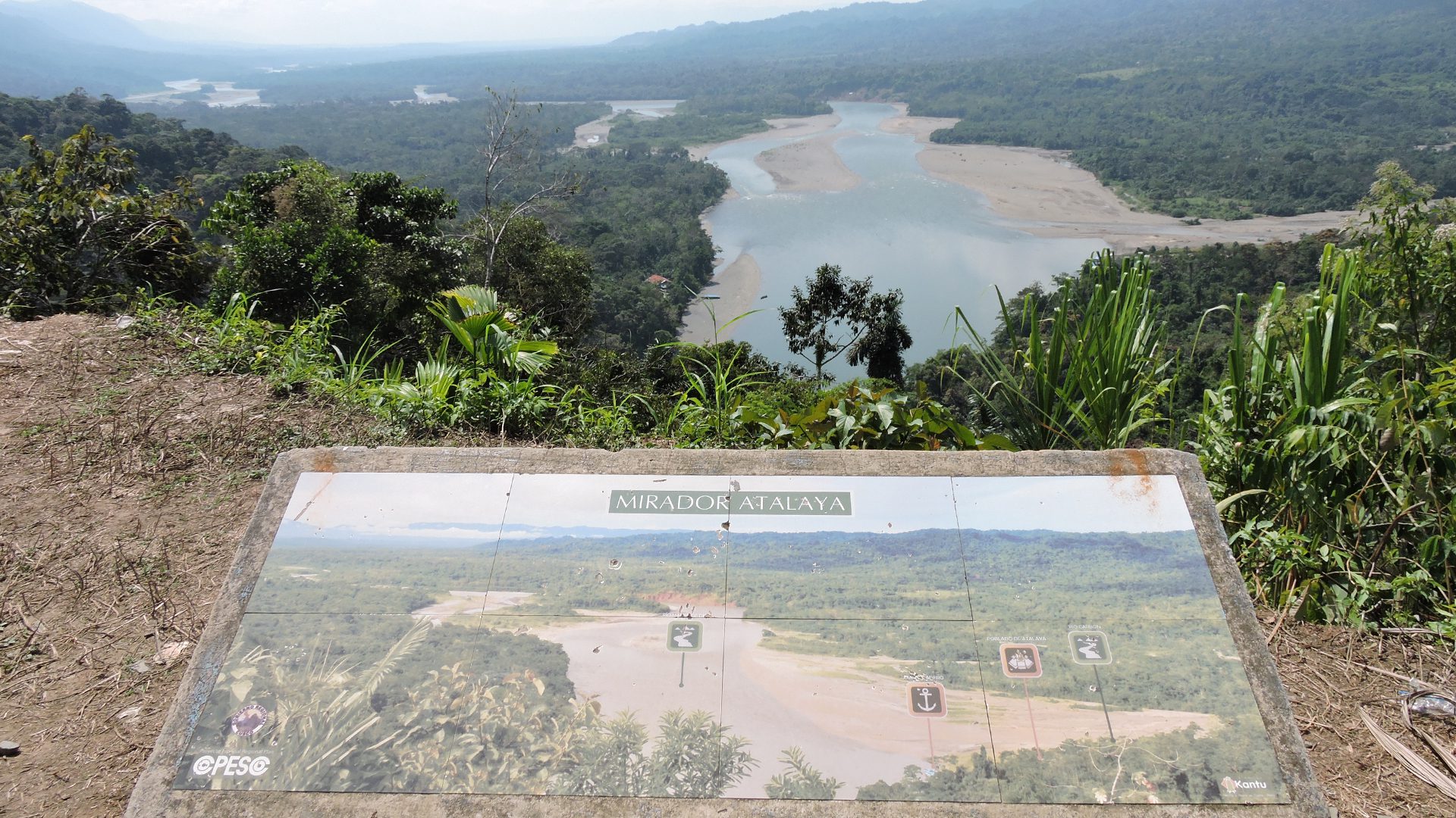
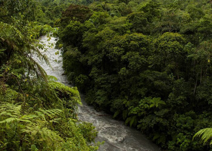
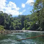
After Pillcopata, the rough road ends and the river Alto Madre de Dios begins at the port of Atalaya. From here, you will explore the Manu by river, making your way through the very important buffer zone, also called the Biosphere Reserve (a buffer zone is located on the edge of the jungle, protecting its precious interior from outside threats). If you are interested in sustainable tourism, 3 hours away from Atalaya the Matsiguenka is where the community of Shipetiari lives. They are the owners of the very cute and comfortable Pankotsi lodge. Eight hours upstream, following now the river Manu, is the Casa Matsiguenka, a lodge that is managed by the communities of Matsiguenkas of Tayacome and Yomibato. This one is the only hostel that is located within the National Park Manu.
If you plan to visit Manu and you wish to travel RESPONSibly, causing the least possible impact on the environment and contributing to the sustainable development of the communities and the protection of the environment, please contact us. Alternatively you can also email us at [email protected] or fill out our brief questionnaire.
Exploring the diverse jungle of Manu through the culture of the communities of Huachipaeri and Matsiguenka is a wonderful experience that should be lived at least once in a lifetime.
Did you like this article? Feel free to share it!
By Tito Cornejo


[…] can read our blog on How to get to the Manu National Park if you want to get more in-depth […]