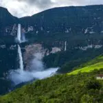
Peru is a country of incredible landscapes and natural beauty. It offers mountains in all colors and shapes, crystal clear lakes and of course waterfalls! Some of them are huge, like the one in Gocta (you can visit it on our tour Searching for the Lost Kingdom of the Chachapoya). Others are small, but not less beautiful.
In this article, we want to present three waterfalls that can easily be visited from Cusco: the Sirenachayoc in Lamay, the Poc Poc in Chinchero and the Perolniyoc in Ollantaytambo. All of them require at least a minimal amount of hiking to be reached. However, routes can be adapted according to your fitness. Read on as we explain to you how to get to these incredible places.
Catarata Sirenachayoc in Lamay
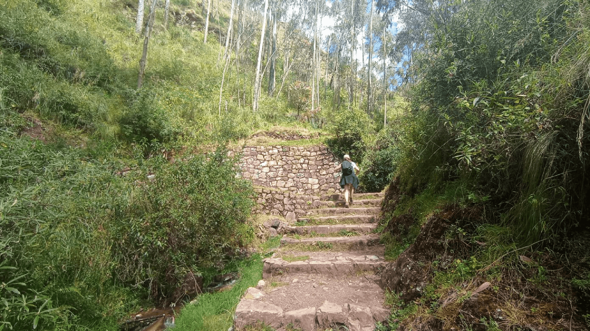
Just behind the city of Lamay (between Lamay and Calca) is the entrance to get to the Sirenachayoc Waterfall. Actually, it would be more accurate to say Waterfalls, as you will see several of them. During the easy 20-30 minutes hike, you will constantly walk along the water stream coming from the main waterfall. Here, small falls can already be discovered.
Click here to see the starting point to Sirenachayoc:
In general, the small hike is quite varied. In many places, you can take different small paths eventually leading back to the main one. You have to cross a small bridge twice and some paths enable you to get directly to one of the smaller waterfalls on the way. There are also many possibilities of sitting down on the way and enjoying the nature surrounding you.
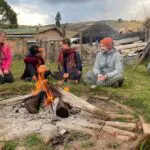
Due to these characteristics of the hike, we especially like to recommend this experience to families. Your kids will have plenty of opportunities to discover different tracks and falls and can rest for a while if they have overestimated their energy. Take it easy and enjoy your time until you arrive at the last waterfall, which is the actual Sirenachayoc! We also recommend you to read our blog on 5 things to do with kids in Cusco if you are traveling with your little ones.
Once you have spent enough time at the top, you can either choose to go back the same way, or turn to the left and walk a small loop until you get back to the initial trail by the water. Please note, that dogs are not allowed on this site. The entrance fee is 5 Soles.

Catarata Poc Poc in Chinchero
About 40 minutes walking from Chinchero, you can discover the Poc Poc Waterfall. To visit this one, you have various options to choose from, depending on the difficulty of the hike you prefer.
Click here to see the starting point to Poc Poc from Chinchero:
Most people choose to visit this waterfall by hiking directly from Chinchero to another town in the Sacred valley called Urquillos. In this case, you will descend approximately 870 meters and visit the waterfall on your way down. First of all, you will hike for about 30-40 minutes until you reach a viewpoint, where there is a sign leading to Poc Poc. Here, you will turn right to make it to the waterfall.
After visiting the waterfall, you have two possibilities: You can either go back up to where you took a right and continue the same path that you came from. Or you can continue from the waterfall, going down steeply until you reach the valley.
If you choose the first option, you will gradually descend on a path that offers stunning views of a majestic glacier mountain. However, you will be exposed to the sun for a great amount of time, which you should come prepared for. In the case of the second option, you will walk on a flat path in between the mountains after having descended from the waterfall. Even though it will be shadowy and easier to walk here, you won’t get the views of the glacier.

At some point, both paths turn into one as they meet. If you come from the flat path, you will walk over a small bridge over the stream. Otherwise, you will come from above and continue on the flat path from then on.
After walking for another while, you will get to a sign, saying “private property path” and “detour to Urquillos”. Even though you want to reach Urquillos, you can take both paths, even the private one.

At the end of the hike, you will walk past some houses on the outskirts of Urquillos before arriving in the actual center of the small town. Walk along the stream until you cross a bridge and reach the road, where you can take public transportation or a taxi back to Cusco or the Valley. (If you want to take a taxti, make sure you have a number at hand to call one.) In total, expect to hike for about three hours, if you walk down.
If you prefer to ascend instead of descending, you can certainly do this route from Urquillos to Chinchero. However, we strongly recommend you to bring lots of water, sun cream and a hat. Small mosquitoes can also be around, so taking mosquito spray with you is a good idea. For more details about how to prepare for hikes and other activities in Peru, you might also want to read our blog on How to stay safe and healthy when traveling in Peru.
Click here to see the starting point to Poc Poc from Urquillos:
Lastly, if you prefer to do a more relaxed hike but don’t want to miss out on this attraction, you can certainly do so! In that case, we recommend you simply walk from Chinchero to Poc Poc and back. You will walk some 3,5 km and descend about 380 meters of altitude, which takes about 40 minutes. On your way back, you will ascend the same path. And even though you won’t do the whole hike, you will still get a glimpse of the glacier mountain!
Please know that there are possibilities to sit down at the waterfall so that you can eat something and rest. However, it is not possible to swim here. The entrance fee is 2 Soles per person.
Overview:
| From Chinchero to Urquillos: | From Chinchero to Poc Poc and back: |
|---|---|
| 11 km (6.8 miles) | 7 km (4.3 miles) |
| 860 m descent (2.280 feet) | 380 m descent and ascent (920 feet) |
| Maximum altitude: 3.700 m (12.140 feet) | Maximum altitude: 3.700 m (12.140 feet) |
Catarata Perolniyoc in Ollantaytambo
The Catarata Perolniyoc is definitely the largest of the waterfalls presented in this article. It is located close to the small town of Ollantaytambo in the Sacred Valley of the Incas. The town itself is beautiful, and you can also visit some Inca ruins here to learn more about Peru’s history. But if you have a little more time here, Perolniyoc is definitely worth a visit.
The starting point to get to the waterfall is just next to the main road, about a 20-minute drive away from Ollantaytambo. You can get there by public transportation or by taxi. From here, you will start hiking up a dirt road at first.
Click here to see the starting point to Perolniyoc starting from the main road:
https://www.google.com/maps/@-13.3075894,-72.2353806,17.19z
At some point, you can choose between two different paths; either you continue on the dirt road, or you can take another smaller path, which leads through a small village called Socma. Both paths are beautiful in their own way. The dirt road is easier as a hike, as it ascends slightly and gradually, whereas the smaller path goes up and down and is a bit rocky.
Later on, you will get to another intersection. Here, you can either ascend some steep steps up to the waterfall or take another path through the forest. If you take the second path, you will come to a point, where you can go either left or continue straight. To get to Perolniyoc, you have to turn left, but if you go straight for just a few meters, you will find a hidden waterfall, no less beautiful than your actual destination.

Finally, after about 2 to 2,5 hours, you will reach the big waterfall. If you are good hikers, you could even continue ascending for another hour until reaching the ruins of Perolniyoc called Raqaypata. From up here, you have great views over the valley, as well as the Chicón glacier mountain, and there are some good spots to have a picnic. The ruins themselves deserve a visit, as well.
In case you are less strong hikers, but still want to visit Perolniyoc, you can also ascend much of the way by car until the dirt road becomes a hiking trail. This will save you some 3,5 km and about 380 of altitude difference. Keep in mind that this option is only possible if you come by taxi or if you are on a Road Trip and have your own vehicle.
Click here to see the starting point to Perolniyoc starting from the end of the dirtroad:
https://www.google.com/maps/@-13.3120334,-72.2554393,18.67z
Again, it is important to be prepared for a lot of sun on this hike, especially if you choose to walk along the dirt road. By the waterfall, however, it is shady and a lot cooler than on the way, so bring a jacket to put on once you arrive there. It is not possible to swim here either. There is no entrance fee to pay, neither for the waterfall, nor for the ruins.
Overview:
| Starting from the main road: | Starting from the end of the dirt road: |
|---|---|
| 4 km to waterfall (2.5 miles) | 750 m to waterfall (0.5 miles) |
| -> 570 m ascent (1.870 feet) | -> 190 m ascent (620 feet) |
| Altitude waterfall: 3.500 m (11.500 feet) | Altitude waterfall: 3.500 m (11.500 feet) |
| 5 km to ruins (3.1 miles) | 1.8 km to ruins (11.2 miles) |
| -> 680 m ascent (2.230 feet) | 300 m ascent (985 feet) |
| Altitude ruins: 3.650 m (12.000 feet) | Altitude ruins: 3.650 m (12.000 feet) |

Waterfall in Pumahuanca
Lastly, another beautiful waterfall is hidden in Pumahuanca, close to Urubamba. This one is beautifully embedded in between two mountain ranges and can already be seen from further away, throughout the hike. Throughout the way, you will walk along the river fed by the waterfall. All types of birds are inhabiting this place, and there are even some mysterious Inca ruins (nkarakai) on the way, waiting to be discovered.
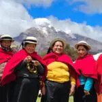
However, the waterfall of Pumahuanca is a little less accessible than the first three options. Luckily, you can easily go there by taking part in our Authentic Valley Experience with Llamas and Pachamanca. As you can see from the name, you will not only see the waterfalls but get the opportunity to hike alongside llamas.
Once you arrive at the house of the llamas’ caretaker, you will also participate in the preparation of a Pachamanca, a traditional dish prepared with hot stones. If you are interested in this tour, you can find all the detailed information in the description. Should you have any other questions about this or any other tour don’t hesitate to contact us.
Overview:
| From starting point to waterfall: |
|---|
| 4.4 km to waterfall (27 miles) |
| 626 m ascent (2.034 feet) |
| Maximum altitude: 3.850 m (12.630 feet) |
| (You can decide to stay at the house of the llama caretaker, from where you can see the waterfall as well) |